Reviewed by: Pat Byington
Drought in the South: UAH secures $1M to study
Reading time: 3 minutes
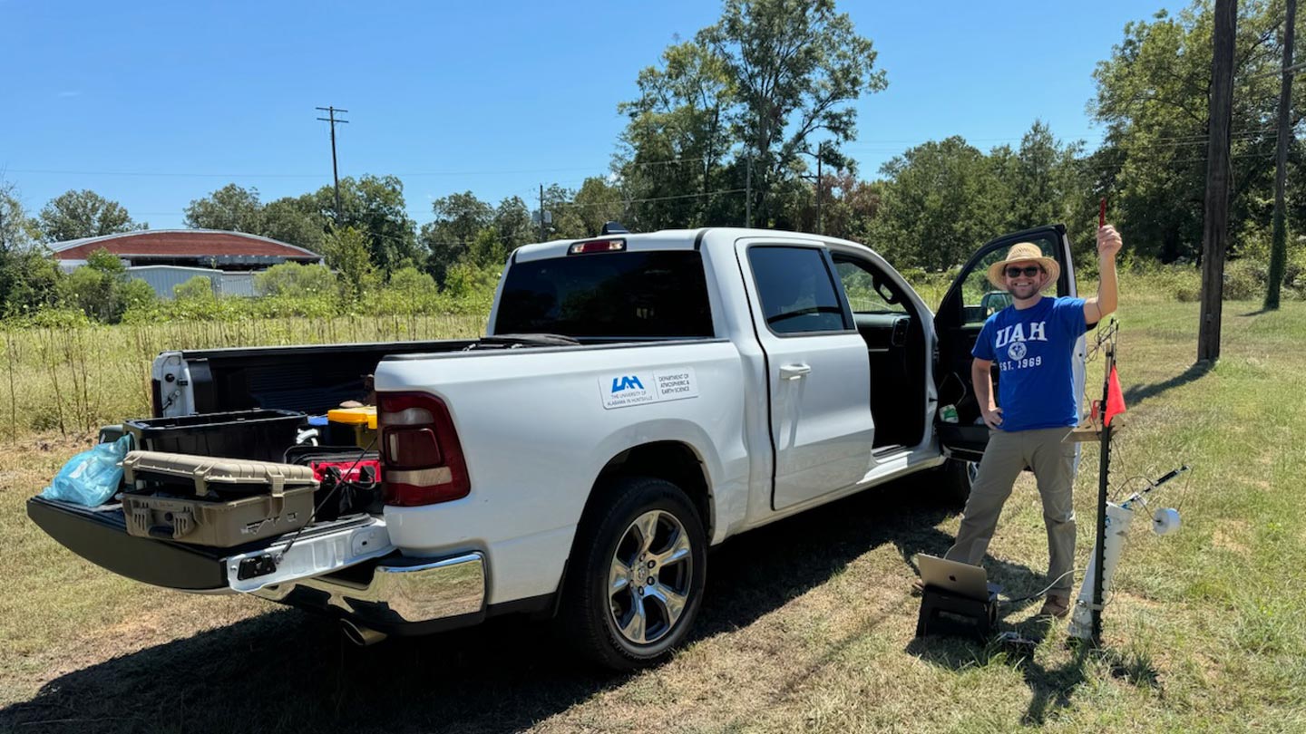
As folks across the state of Alabama know, we have had a historically hot summer, and while we saw a decent amount of rain in June, drought conditions remain throughout the state and the region.
For this reason, researchers at The University of Alabama in Huntsville have received two federal research awards—totaling nearly $1 million—to study drought, water availability and agricultural water use across the region.
2 projects to study drought conditions in the region
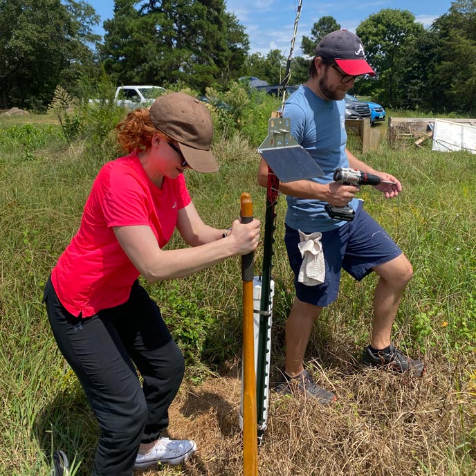
Both two-year projects, one funded by the U.S. Geological Survey (USGS) and the other by the National Oceanic and Atmospheric Administration’s (NOAA), are led by Dr. Lee Ellenburg, Alabama State Climatologist and associate professor in UAH’s Department of Atmospheric and Earth Sciences.
The Alabama Office of the State Climatologist is housed within UAH’s Earth System Science Center.
Both projects center on understanding what happens to water after it reaches the landscape. One examines how much rainfall is retained, while the other looks at water leaving the soil through evaporation.
Together, the projects build on UAH’s research in drought, hydrology and applied climate science, with Ellenburg and the UAH team working to develop information that can support drought monitoring, agriculture and water-resource decisions across the Southeast.
The NOAA-funded project
The NOAA-funded project focuses on effective precipitation, or how much rainfall ultimately contributes to water available at or near the land surface rather than being lost through runoff or other processes.
Using hourly rainfall and soil-moisture observations from networks across the Southeast, the research team plans to develop a near-real-time drought indicator called the Standardized Effective Precipitation Index (SPIe) and evaluate how changes in rainfall intensity, frequency and distribution may affect drought assessments over time.
A major question for the team is how much rain from an individual storm actually remains available in the soil.
“A large storm may produce several inches of rain, but if much of that water runs off instead of being stored in the soil, it may not provide the drought relief that the rainfall total suggests.”
Dr. Lee Ellenburg
The NOAA project also includes plans to establish a Southeastern Drought Working Group of state climate offices and regional drought practitioners. The group will provide input as the methodology and product are developed and evaluated.
The team also plans to make the resulting information available through established drought platforms, including the Southern Regional Climate Center’s Integrated Water Portal and Drought.gov.
The USGS-funded project
The second project will evaluate OpenET, a system that uses satellite observations and scientific models to estimate evapotranspiration, or water moving from the land and vegetation back into the atmosphere. Ellenburg leads the project along with UAH researcher Vikalp Mishra in partnership with USGS and OpenET.
The team plans to evaluate how well OpenET estimates represent conditions by comparing the data with other observations and models.
“Evapotranspiration is one of the most important, and hardest to observe, parts of the water cycle. OpenET gives us an exciting new way to estimate it at very high spatial resolution.
This project will allow us to evaluate how well those estimates work in the humid Southeast and then explore how we can use them for practical problems like drought monitoring, irrigation demand and agricultural water management.”
Dr. Lee Ellenburg